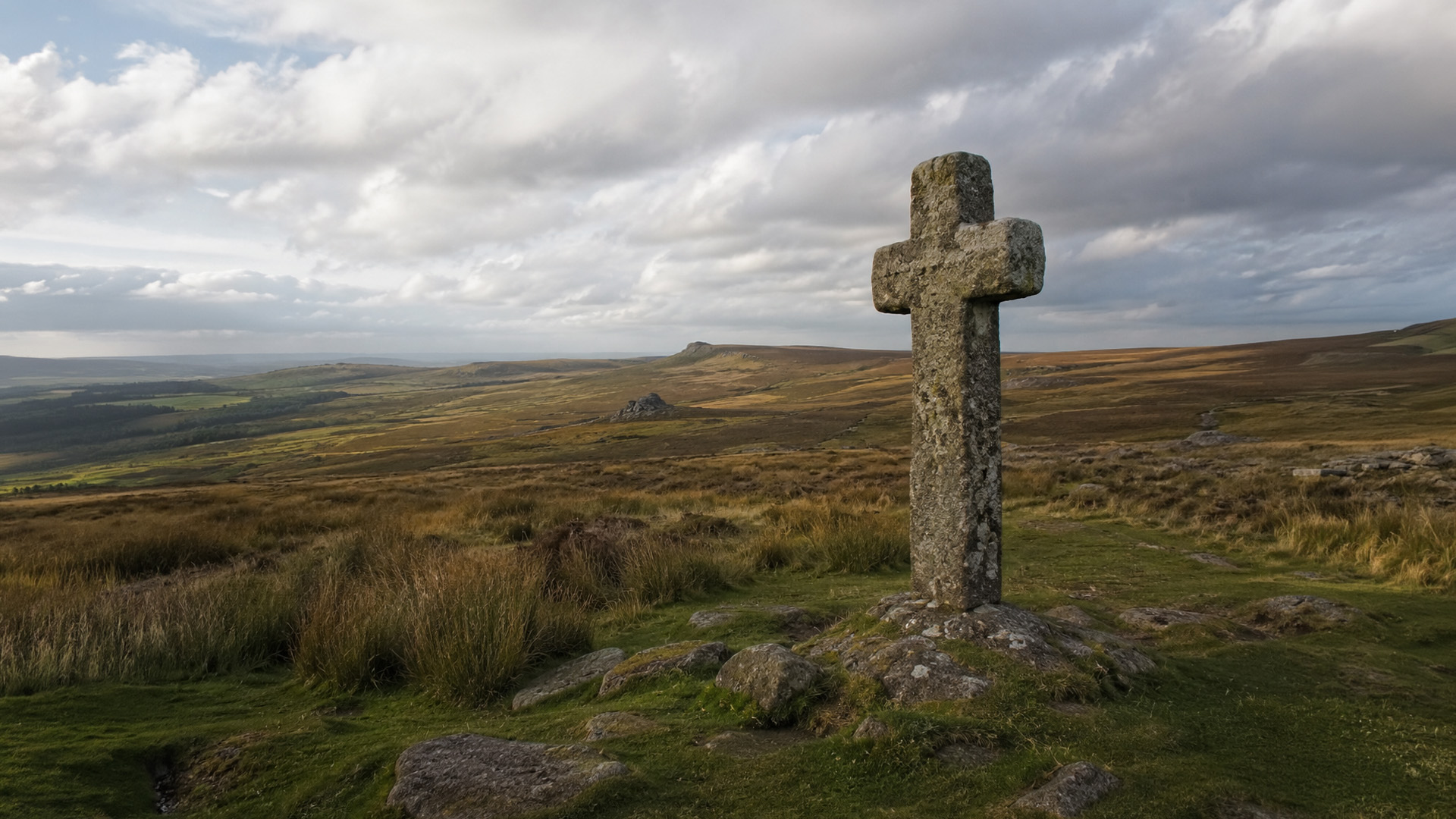
We were commissioned to produce an illustrated map for The Abbots Way — a book documenting the long-forgotten pilgrimage route stretching from Buckfast Abbey to Tavistock Abbey across the Dartmoor wilderness.
What we worked on
Supporting Content
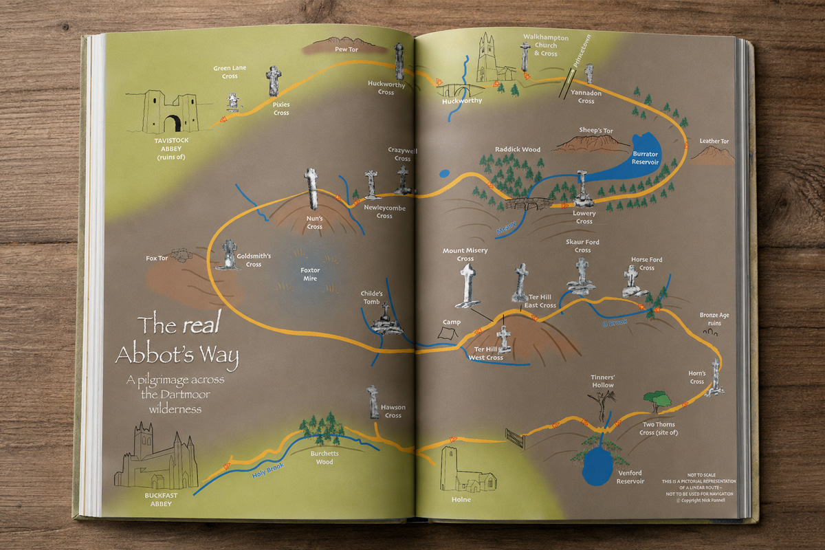
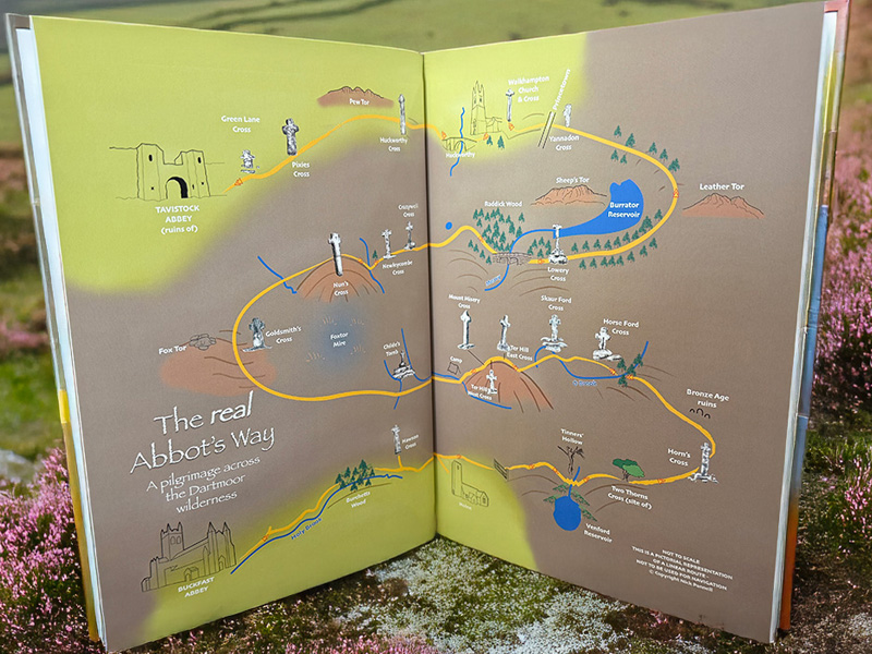
The map was designed as an illustrated interpretation of the route rather than a strict navigational map, helping bring the historic pilgrimage journey to life visually through hand-drawn landscape elements, route markers, rivers, tors, woodland areas, and granite crosses.
The route highlights key locations and landmarks across Dartmoor, helping readers better understand the scale and atmosphere of the journey between Buckfast Abbey and Tavistock Abbey.
Alongside the initial print-ready artwork created for inclusion within the book itself, we later expanded and rebuilt the artwork at a much larger scale so it could be used as a large-format wall covering inside a new restaurant at Buckfast Abbey.
This required the artwork to be carefully prepared to production specifications while maintaining detail and clarity at significantly larger display sizes.
The Result
The Result
The result was a distinctive illustrated map that helped visually support the storytelling and heritage behind The Abbots Way while also evolving into a large-scale environmental artwork installation within Buckfast Abbey itself.
Looking for Bespoke Illustration or Heritage Design Support?
If you’re looking for support across illustration, print, environmental graphics, or heritage-focused creative projects, we’d love to talk.